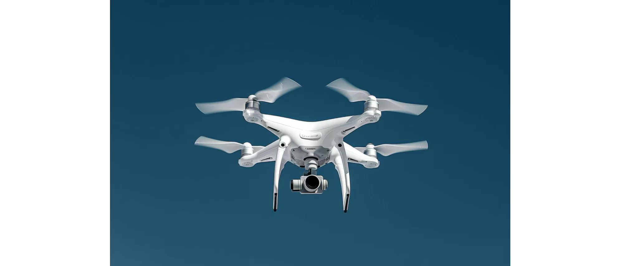
Drones: Key Tool in Environmental Impact Assessment
By B. Eng. Paola Soto Gil
Technological advancements have been reflected in multiple areas of everyday life, from improvements in quality of life to the development of advanced artificial intelligence. All these advancements aim to optimize tools that reduce time, effort, and execution costs in various fields.
In the environmental sector, technology has been essential for the management and conservation of natural resources, providing alternatives to mitigate the effects of climate change, detect natural phenomena, and develop renewable energy sources. These applications represent only a fraction of the technological potential in sustainability and environmental preservation.
The incorporation of technology is especially relevant in the Environmental Impact Assessment (EIA) process, which allows identifying and predicting the effects that projects may have on the environment. This process establishes the measures and conditions under which works and activities can be carried out without compromising the ecological balance of the affected area.
To carry out a comprehensive evaluation of a project's environmental impacts, it is essential to characterize the biotic and abiotic components of the study area and its area of influence. Traditionally, this analysis has relied on the use of cartography and satellite imagery; however, there are significant limitations. On one hand, the scale of many images and maps is inadequate for detailed analysis, as it tends to homogenize site conditions. On the other hand, the update frequency of these data is sporadic, limiting the ability to study the evolution of environmental conditions accurately.
Faced with these limitations, the use of unmanned aerial vehicles (drones) equipped with high-resolution cameras and sensors has become an essential tool. Drones allow the capture of updated and detailed data on site conditions, with a precision superior to that offered by satellite imagery, facilitating a robust and up-to-date environmental characterization.
In this context, drones capture a series of aerial images that are then subjected to geometric correction, eliminating effects such as terrain relief and camera tilt. Additionally, these images are georeferenced, allowing them to be accurately placed in a coordinate system. The combination of these images generates a high-precision orthomosaic or “orthophoto,” which surpasses satellite images in accuracy by avoiding distortions and offering resolution adaptable to the needs of the analysis.
The use of orthophotos enables the generation of detailed and precise descriptions of terrain characteristics at appropriate scales for environmental impact studies. Among its main applications are:
- Digitization and classification of land uses and vegetation types: Allows identification and classification of vegetation cover types and land uses, which is essential for assessing the degree of impact on the ecosystem.
- Delineation of water bodies and conservation areas: Facilitates the precise identification and delineation of surface water bodies and protected or conservation areas.
- Evaluation of soil degradation levels: Helps identify eroded or affected areas, enabling the planning of restoration measures.
- Calculation of vegetation indices: Using spectral analysis techniques, such as the Normalized Difference Vegetation Index (NDVI), it is possible to assess vegetation health and density.
- Topographic analysis and slope measurement: Key information for water flow modeling, risk assessment, and erosion analysis.
- Measurement of distances and proximity to sensitive areas: Allows for precise distance determination between the affected area and conservation or interest zones, assessing the magnitude of potential impacts.
- Identification of ecologically fragile and susceptible areas: Facilitates the detection of habitats or vulnerable areas that require special attention in mitigation plans.
With this information, it is possible to evaluate the site's current conditions in detail and predict changes that could arise from the projected activities. Based on these results, the environmental viability of the project and its impact level on each ecological component are determined, establishing the necessary mitigation measures to reduce or neutralize adverse effects.
The use of drones has revolutionized environmental consulting practice, enabling a comprehensive and precise assessment that strengthens decision-making and promotes the development of more sustainable and effective alternatives to mitigate environmental degradation.
At ECOPLADESA, we utilize cutting-edge technology to capture precise data and conduct detailed analyses, enabling you to make informed decisions and mitigate project-related risks. We combine the precision of orthophotographs with the analytical power of GIS to offer high-quality feasibility analyses and environmental studies, ensuring that your project not only complies with all regulations but is also environmentally sustainable.
Eng. Paola Soto Gil is an environmental impact analyst at ECOPLADESA. She holds a degree in Renewable Natural Resources Engineering from Chapingo University.
